





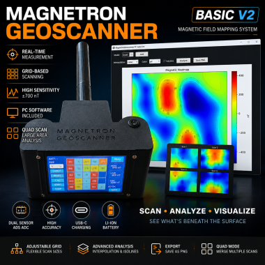
Magnetron Geoscanner Basic V2 – Portable Magnetic Field Mapp

Made by edosari50 / 3D Printing / Displays / Environmental Sensing / Robotics / Sensors
About the project
A portable magnetic field mapping device based on dual magnetic sensors, Arduino Nano and ESP32 touchscreen interface. The system generates real-time magnetic heatmaps and supports PC-based analysis for anomaly detection and experimental field mapping applications.
Items used in this project
Hardware components


Story
Magnetron Geoscanner Basic V2
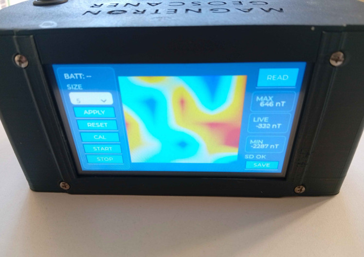
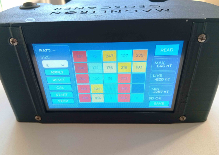
Magnetron Geoscanner Basic V2 is a portable magnetic field mapping system designed for field exploration, education and experimental geoscience applications.
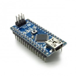
The system combines dual fluxgate magnetic sensors, a 16-bit ADS1115 ADC, an Arduino Nano and an ESP32-S3 touchscreen interface to provide real-time magnetic field visualization during scanning.
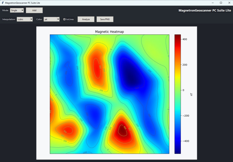
Unlike traditional magnetic survey tools that require post-processing on a computer, the device generates live heatmaps directly on the integrated display. Scan data can also be exported and analyzed further using the accompanying PC software.
Main Features
- Dual magnetic sensor architecture
- Real-time magnetic heatmap generation
- Adjustable scan grid sizes
- Portable battery-powered operation
- Touchscreen user interface
- Data export and PC analysis software
- High sensitivity magnetic anomaly detection
- 3D printed enclosure
How It Works
The device continuously measures magnetic field variations using two fluxgate magnetic sensors. Data is digitized through a high-resolution ADC and processed by the onboard microcontroller.
As the user performs a scan, measurements are automatically placed into a configurable grid structure and displayed as a color-coded magnetic map in real time.
The resulting dataset can be exported for further processing, interpolation and visualization using dedicated desktop software.
Current Development
The Basic V2 platform is part of the larger Magnetron Geoscan project.
In addition to handheld systems, development is currently underway on:
- Drone-based magnetic survey platforms
- Marine magnetic survey systems
- Advanced multi-sensor magnetic mapping solutions
- Custom systems tailored to specific customer requirements
Project Links
Website:
https://magnetrongeoscan.com
Instructables:
https://www.instructables.com/DIY-Magnetic-Field-Mapping-Device-V2-High-Sensitiv/
LinkedIn:
https://www.linkedin.com/company/magnetron-geoscanner/
Magnetron Geoscanner Basic V2 Circuit Diagram:
https://app.cirkitdesigner.com/project/e2c5e83c-da9e-49df-8644-86f5b57a3613
YouTube:
Schematics, diagrams and documents
CAD, enclosures and custom parts
Credits
Related products





Leave your feedback...